CYCLING ROUTE FROM GATINEAU TO VAL-DES-MONTS
Ivan Aristizabal
This is a route in Quebec that starts in Gatineau, a city adjacent to Ottawa, the capital of Canada. With about 160 kilometers from the starting point in Gatineau Park, this challenging route crosses some of the most challenging terrain in the capital region.
Distance: 160 km
Elevation Gain: 2.400m
TIME: 10 hrs

Skill level and terrain:
An advanced skill level is required to complete this route, as it incluedes rolling hills and steep climbs. With a positive elevation gain of approximately 2,400 meters, you should be prepared for both physical and mental challenges along the way.
Points of interest:
Along the route, cyclists can enjoy breathtaking views from the viewpoints of Gatineau Park. These picturesque landscapes are perfect for taking some pictures and admiring the natural beauty that surrounds the area.
Difficulty and road conditions:
From Gatineau Park to Val-des-Monts, cyclists will face a variety of road conditions. While inside the park you can enjoy safer terrain (mostly without traffic), outside the park, especially between Edelweiss and Perkins, road conditions can become challenging.
Be prepared for challenging climbs and steep grades on sections such as:
- Pink Lake
- King Mountain
- Fortune
- Edelweiss
- Chemin du rubis
- Monte Ouch
- Chemin blackburn
Infrastructure and equipment:
Along the route, there is no specific infrastructure for cyclists, but you can find places such as gas stations and depanneurs to stock up on food and water. It is recommended to carry spare tires, a pump and a multipurpose tool for any emergency.
It is important to bring good nutrition to recharge: carbohydrates, water and hydrating drinks. It is a very demanding route, so we recommend the continuous intake of carbohydrates along the route, as well as constant hydration.
It is a route recommended for cyclists who feel comfortable riding with larger vehicles.
Stops and refueling:
To refuel, strategic stops are suggested at the gas station at Chelsea Bridge (kilometer 36) and at the Depanneur La Villa in Val-Des-Monts (kilometer 111).
Rules and regulations:
It is always advisable to ride in a group, to be careful on sections where the berm does not exist and to respect the specific traffic regulations of each province. In Quebec, for example, you must ride in a line, one behind the other.
Transportation and Parking:
Cyclists can park at P3 in Gatineau Park, where the route begins and ends. Other options include parking at the Chelsea Visitor Center.
With varied terrain, from rolling hills to steep climbs, this route offers stunning views of The Gatineau Park and the chance to accumulate a good amount of positive elevation gain.
If you have any questions about this ride or would like more information about possible routes, please write to us, we’ll get back to you as soon as we get off the bike.
Other routes and stories
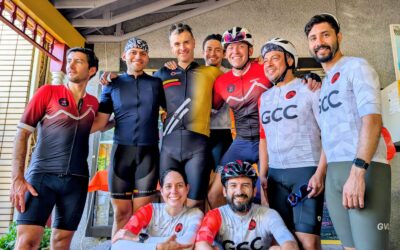
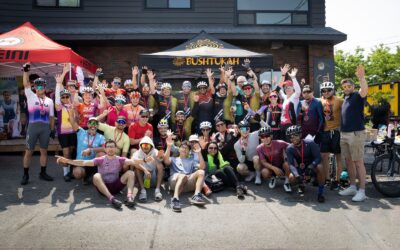
Annual Ultrafondo GCC 2025
This ride gave us more than just kilometers: it strengthened bonds, tested our resilience, and taught us that true victory lies in pedaling with others in mind.

GCC Convention: Community, Knowledge, and a Shared Future
The event combined community dialogue with a structured academic agenda focused on improving performance, well-being, and practical knowledge for all participants.
Manotick Time Trial 2025
On Sunday, June 8, the roads of Manotick became the stage for a new chapter in the region’s cycling scene. Dozens of riders gathered to take part in a time trial that combined sport, challenge, and community spirit.