Annual Ultrafondo GCC 2025
Alexander Vargas Sanabria
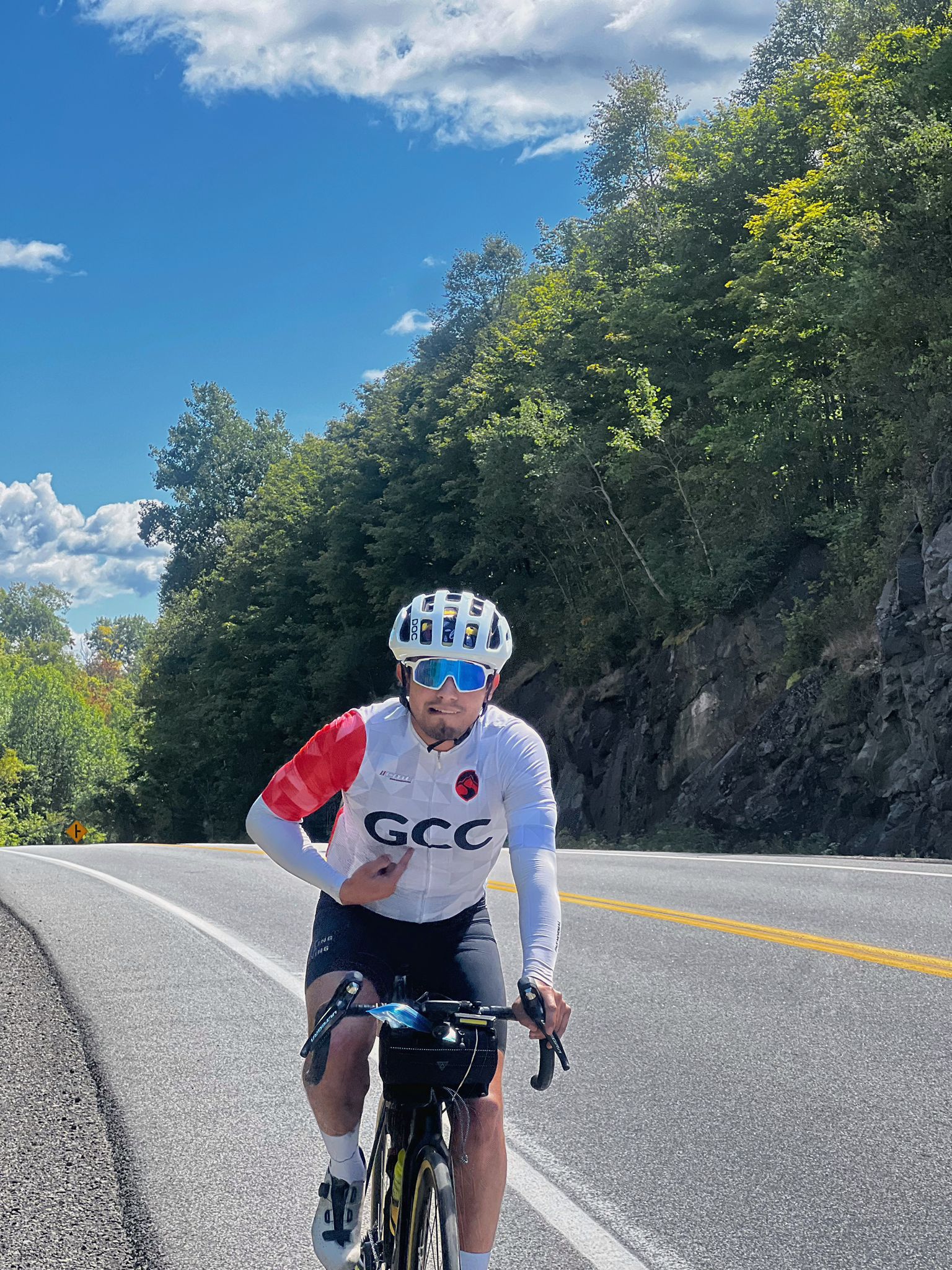
Last Sunday we celebrated a new edition of the GCC Annual Ultrafondo — a day born from four routes designed to challenge us physically while strengthening the bond among friends and families.
Distance: 342 km
ELEVATION GAIN: 3.371m
TIME: 17 hrs

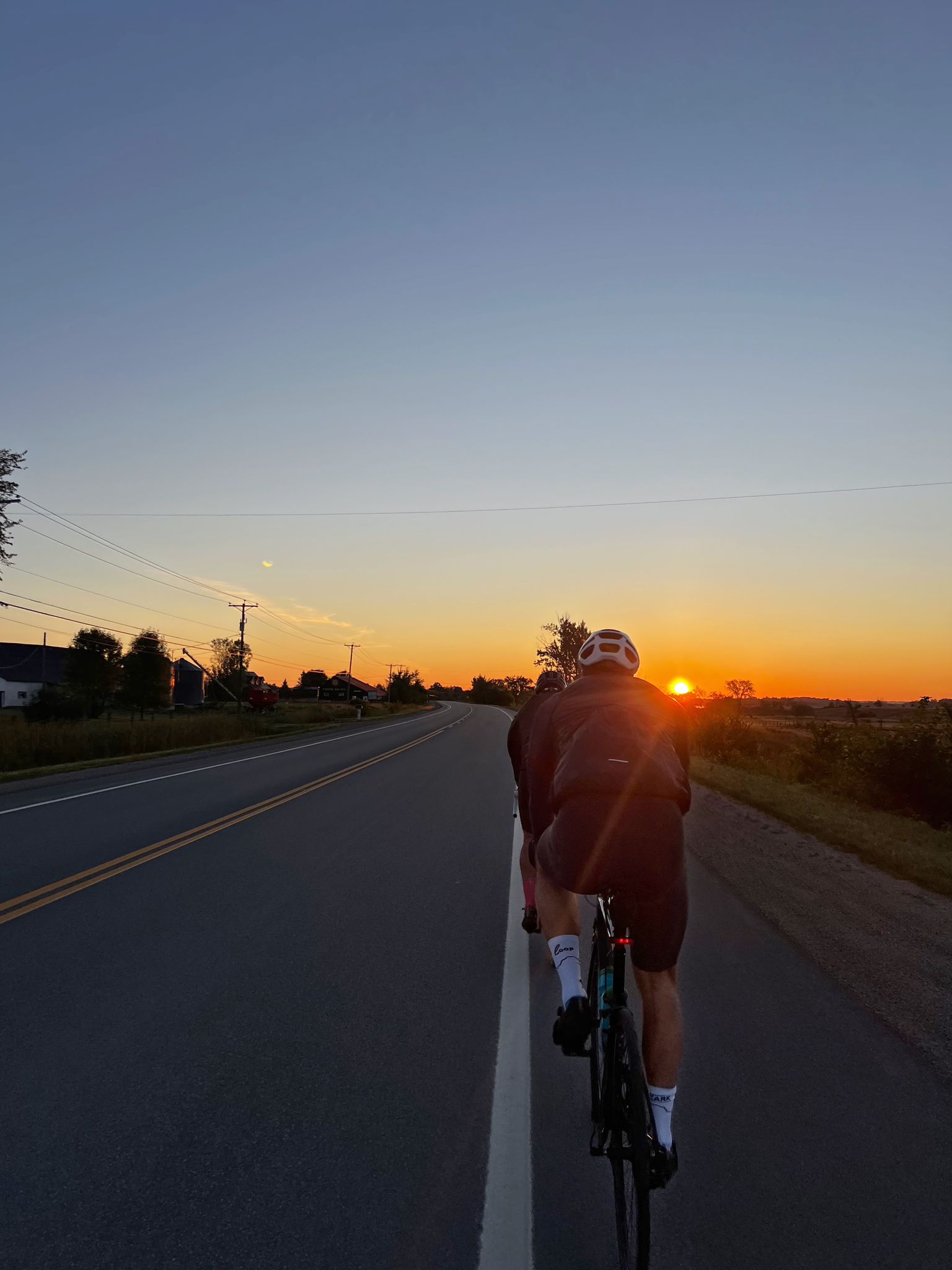
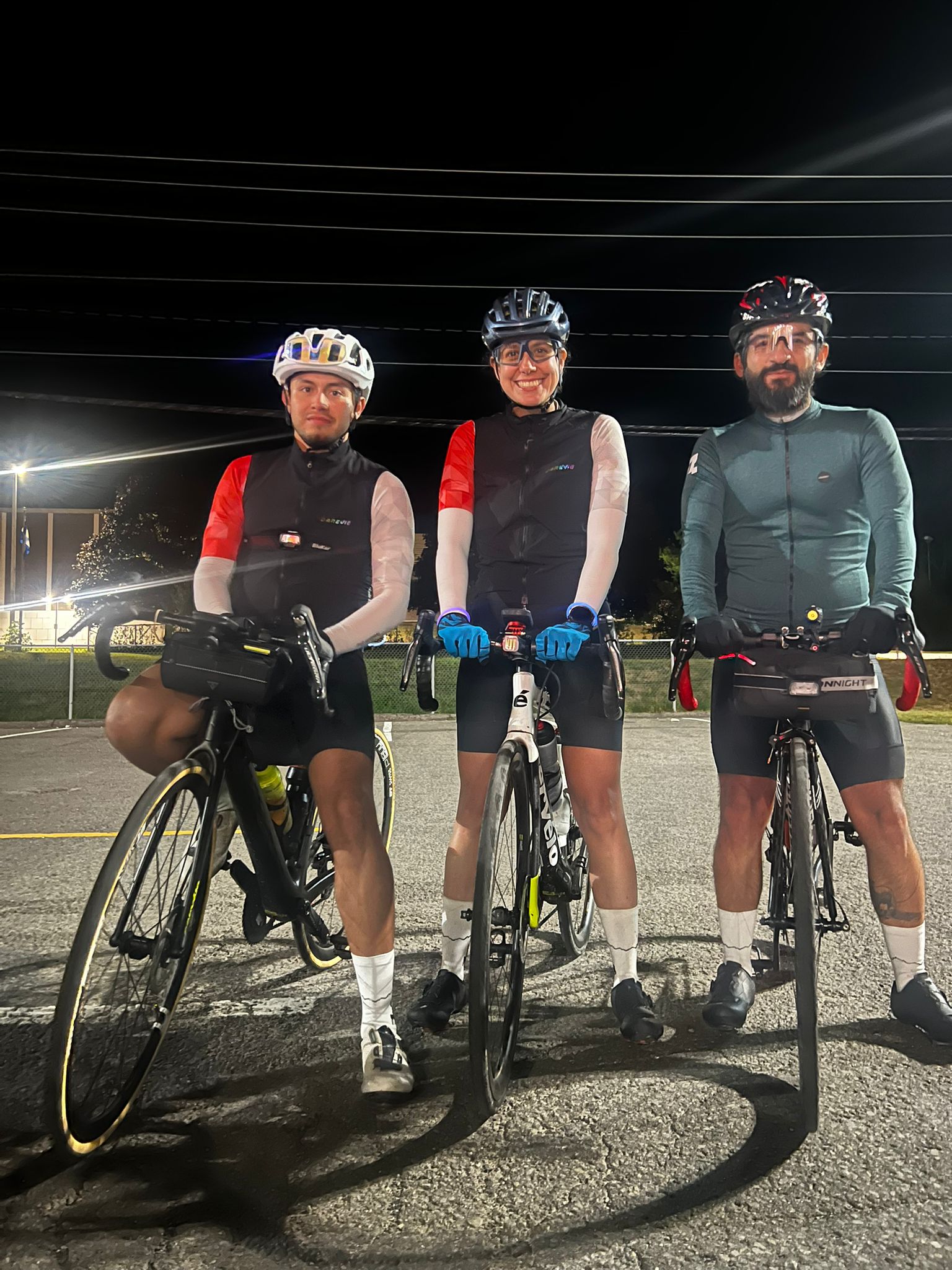
The start: 4:45 a.m. at Gatineau Park
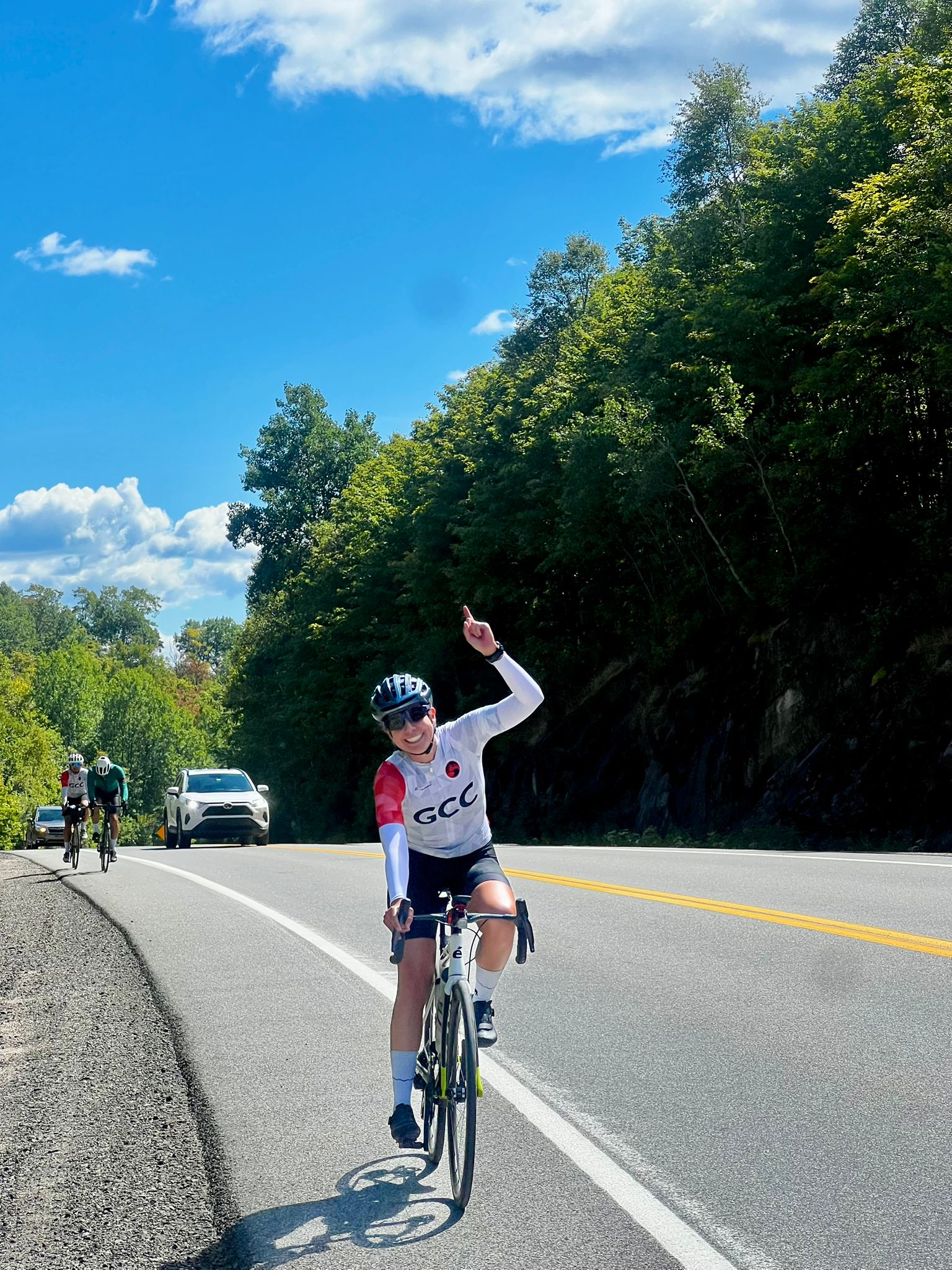
Together with Laura C. and José F., we set off from parking lot P3 in Gatineau Park with a clear goal: to complete 396 km and 3,200 m of elevation gain. Luis Ramírez also joined us, aiming to ride 200 km and 2,100 m. We decided to take as many pathways as possible on the way out toward Dalton, trying to minimize traffic interaction and avoid unnecessary risks, especially in the early hours of darkness.
At 5:45 a.m., Francisco S. and José A. set off from Dalton. Their “Group A” had the mission of supporting us in the first part of the route with a 50 km ride. Their company was key: they set the pace, guided us to Papineauville, and made the beginning of the ride much smoother.
")
")
Chemin Kilmar: mountains and unexpected grave
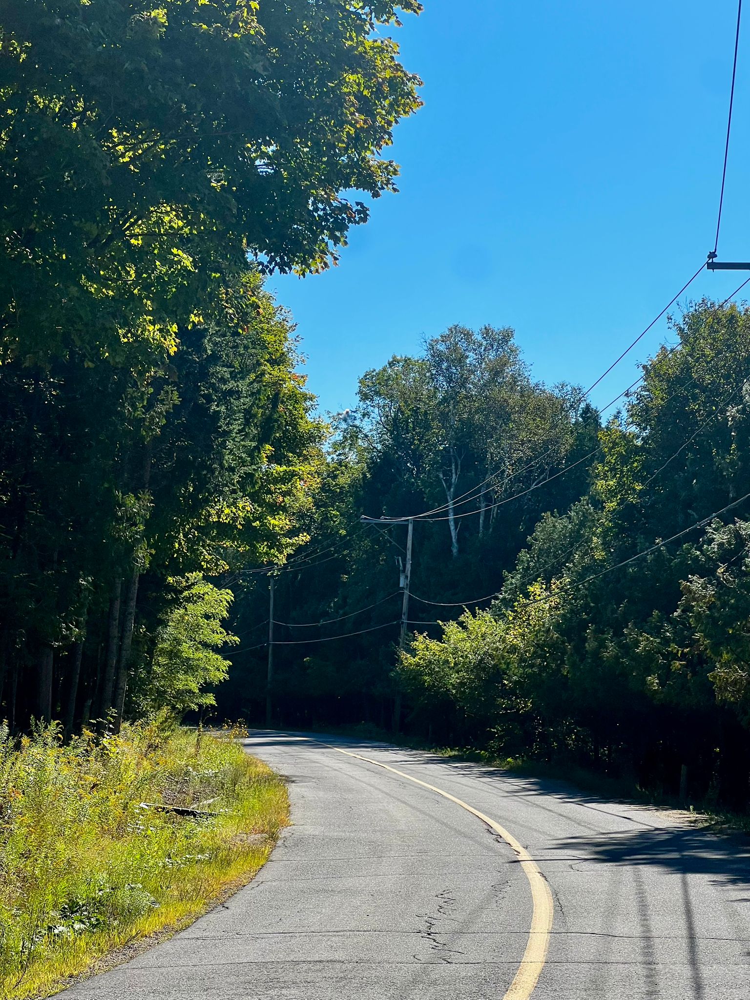
After saying goodbye to Group A, we continued along the road toward Montreal until the turnoff at kilometer 105 onto Chemin Kilmar. We knew this was where the hardest mountain segments would begin, but we didn’t foresee what came next: more than 15 km of gravel road. With tires not suited for that terrain, we faced it cautiously and patiently.
Once out of the gravel, we found an oasis: Le Rescafe, a community restaurant where you order, eat, and then decide how much to pay. Breakfast was delicious and the experience unique. But there was a hidden cost: we waited nearly 45 minutes for our food — a delay that would prove costly later.
")
Group B takes over
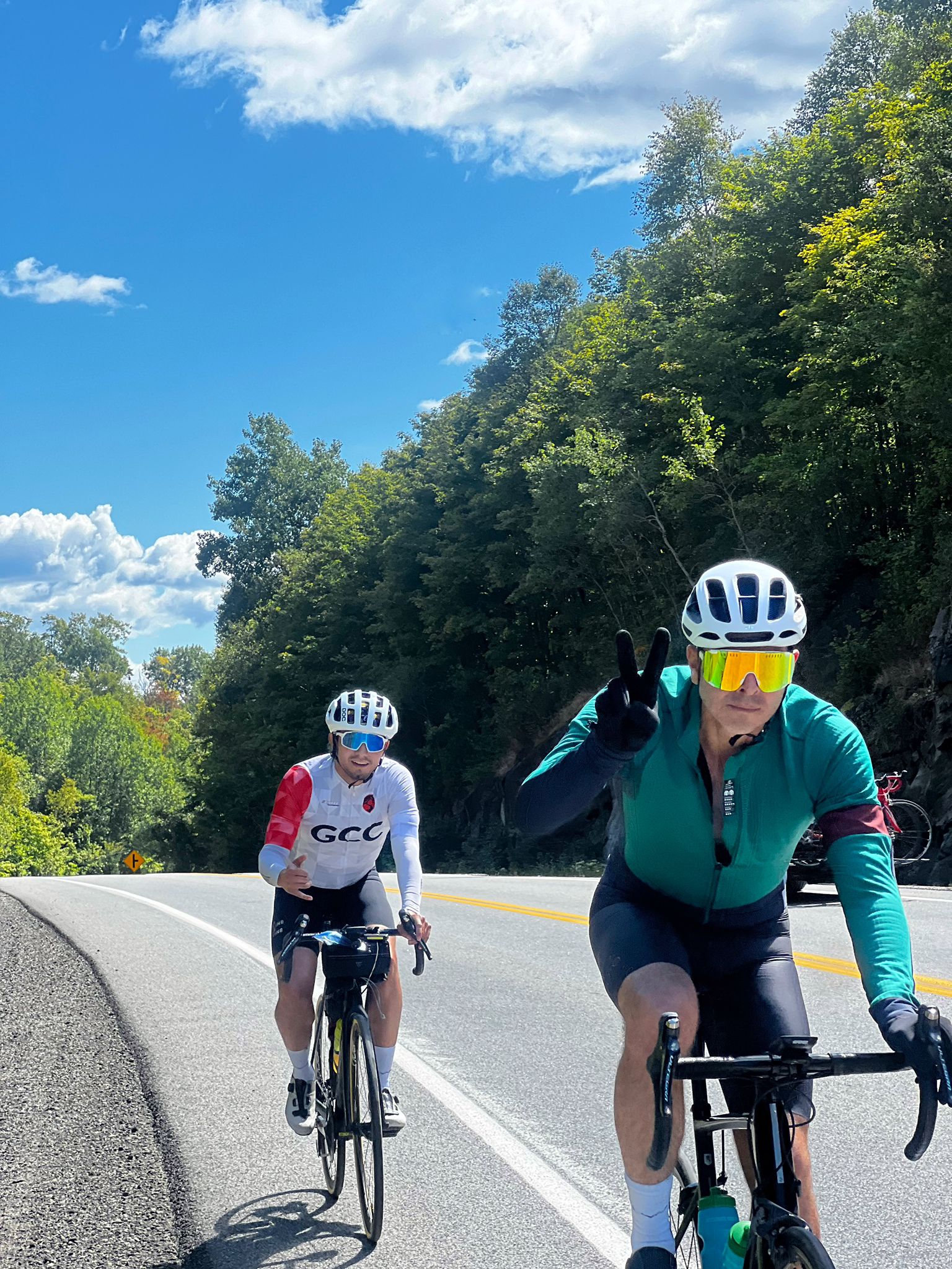
While we finished breakfast, around 11:00 a.m., Group B (Christian A., Danilo B., Humberto M., Guillermo B., and Sebastián C.) departed from Papineauville. Their goal was to meet us in Mont-Tremblant to complete 180 km and 1,630 m of elevation gain.
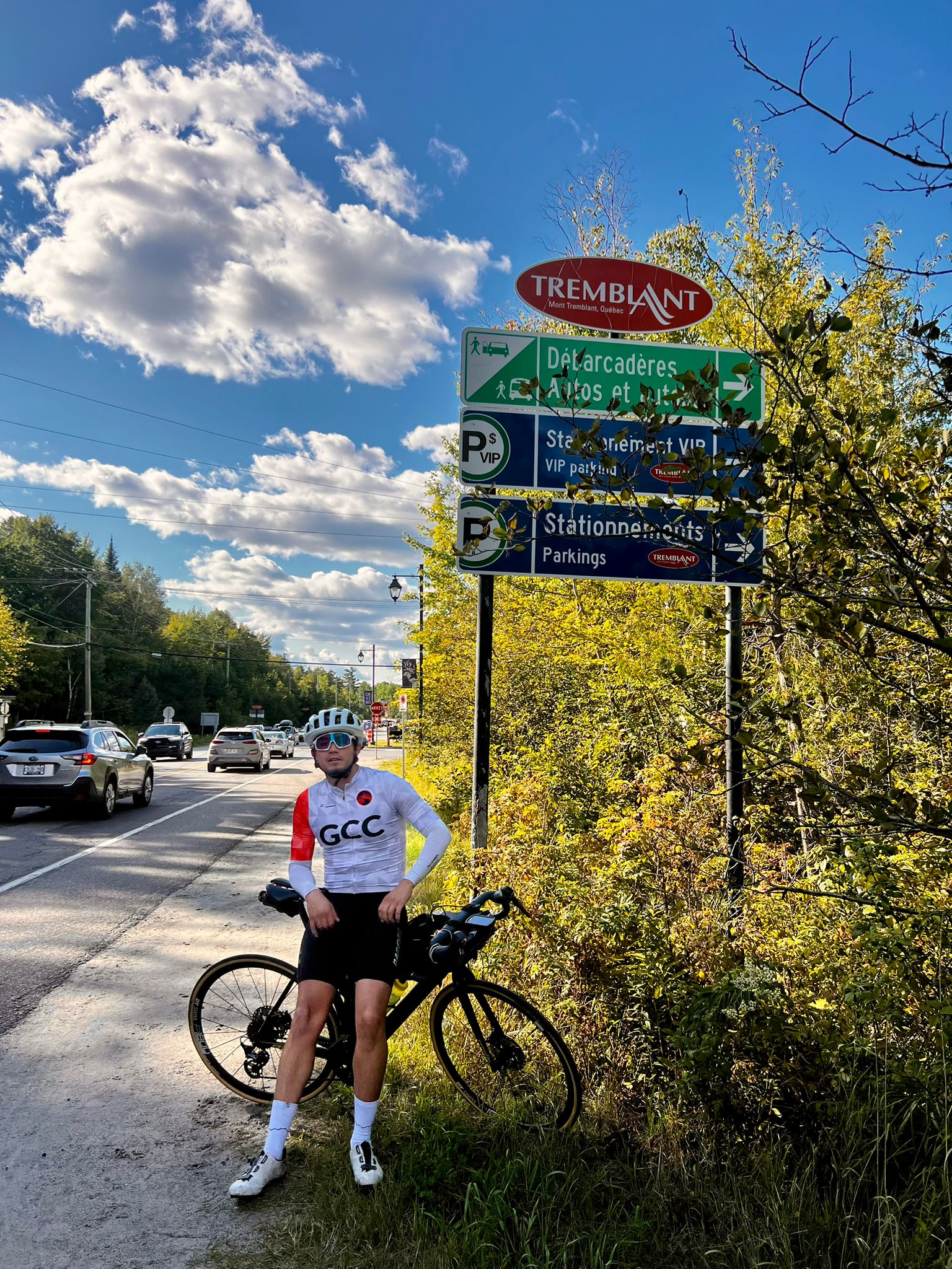
Climbs, descents, and Mont-Blanc
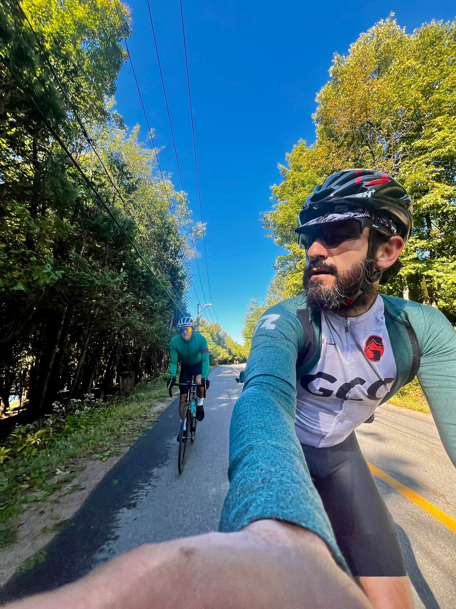
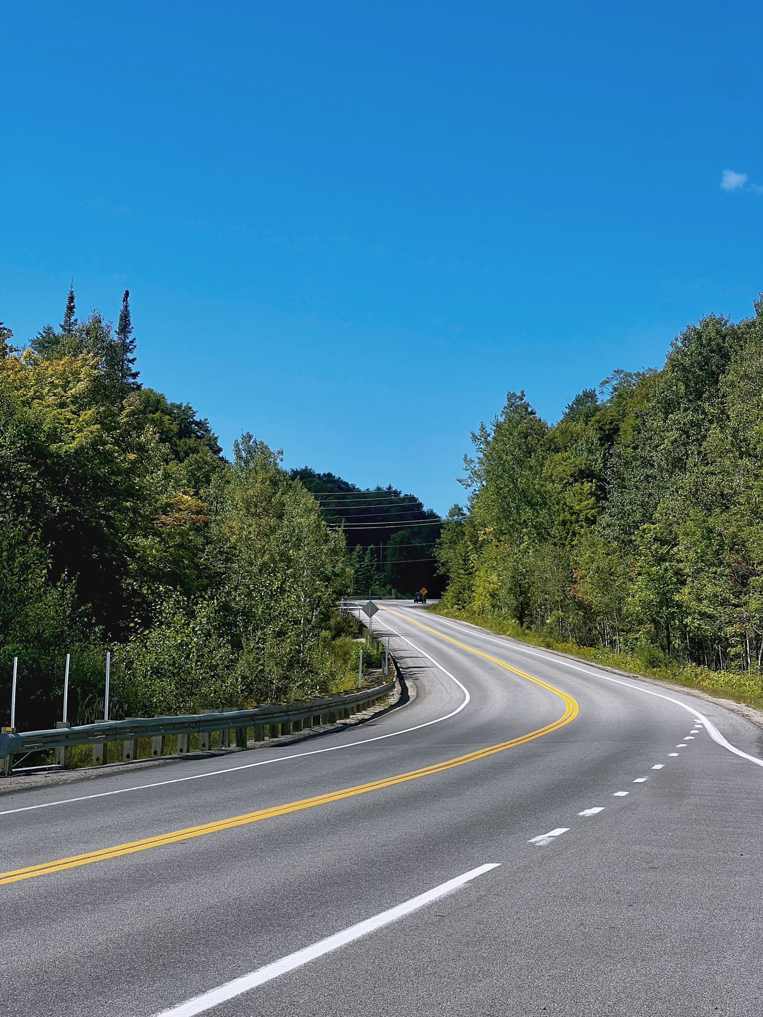
The route to Mont-Blanc was brutal: back-to-back climbs at 12% and 15%, technical descents with some traffic, and varying road surfaces that stretched and broke up the group. Still, the scenery was as varied as it was demanding: forests, lakes, and that fresh air that reminds you why we love these rides so much.
At Mont-Blanc we refilled water and food before tackling the stretch to Lac Supérieur. This was one of my favorites: a cyclist-friendly road, surrounded by trees and lakes, that reminded me of our Gatineau Park. Riding there felt amazing, recharged by every postcard-like view around each curve.
")
")
The meetup
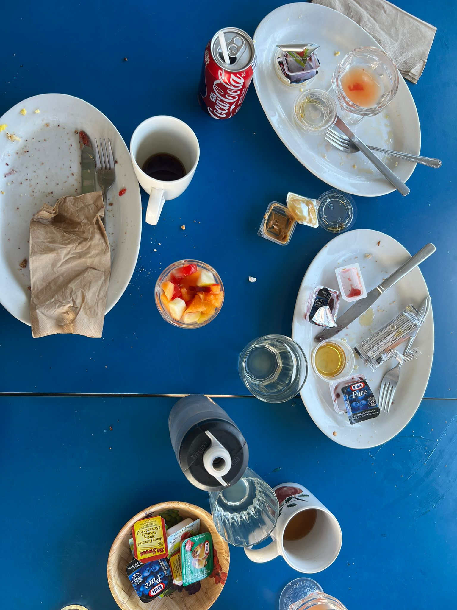
At 4:00 p.m., an hour and a half later than planned, we finally had lunch in Mont-Tremblant with Group B and several families. The table was filled with laughter, stories, and even a few scares recounted humorously. It was a short but powerful moment: eating together and feeling our families’ support was exactly what we needed.
")
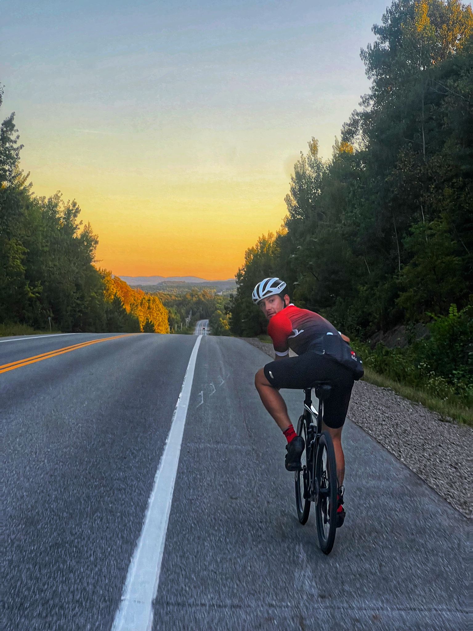
Darkness, tension, and arrival at Papineauville
We set off firmly with Group B, trying to stay united on every climb. However, darkness fell faster than expected. Soon we were riding in small groups, each trying to follow the white line on the road to stay on course.
It was two hours of pure tension: uneven roads, zero lighting, lack of coordination, and the need to remain calm. In the end, we made it safely to Papineauville.
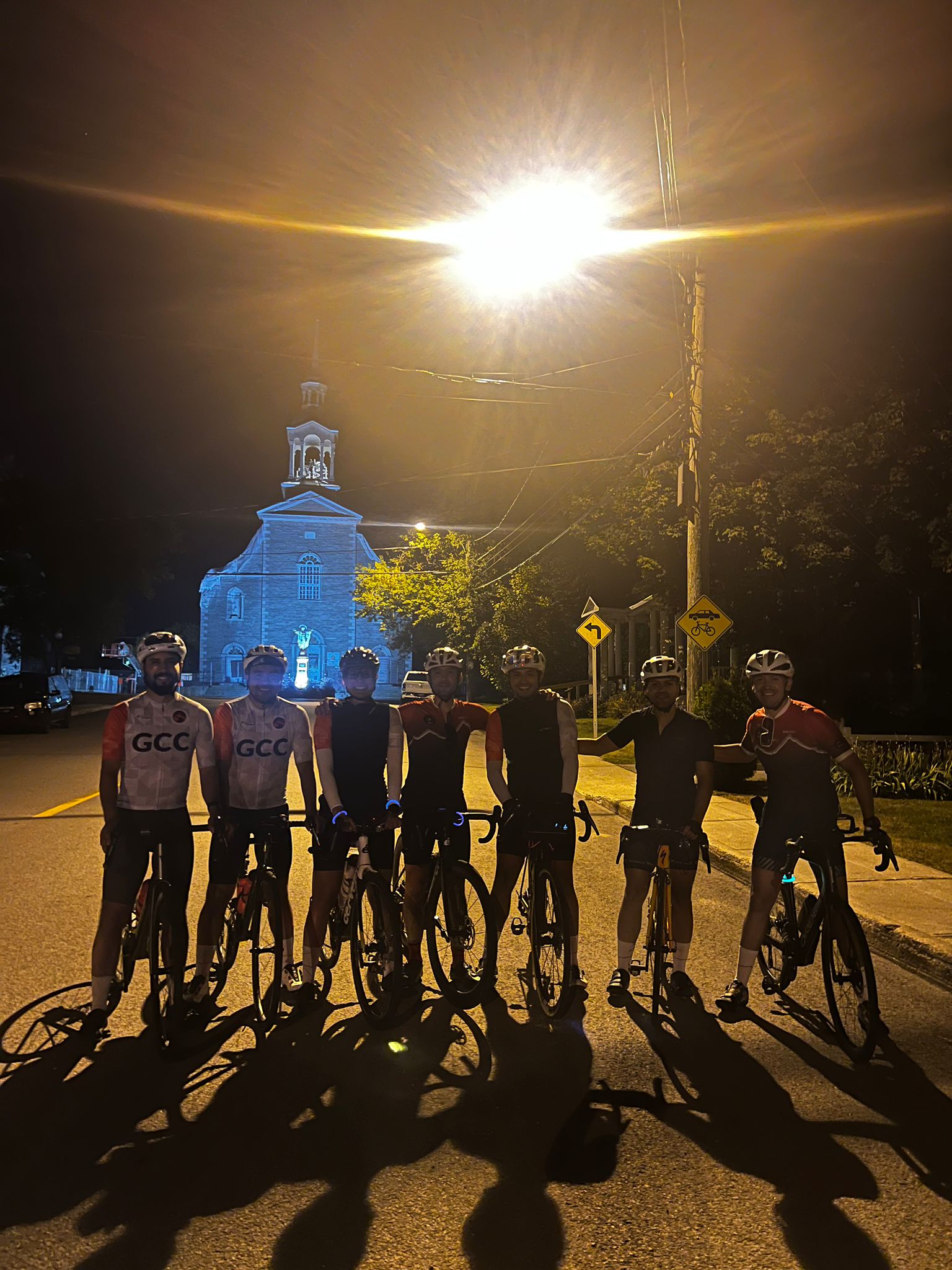
The decisión
Once in Papineauville, the conversation shifted. We were physically strong, with no signs of exhaustion, but the route carried a risk we couldn’t ignore, and our families were concerned. We are children, partners, parents, siblings… and in that moment, we understood the real danger wasn’t fatigue, but the recklessness of continuing in unsafe conditions.
The group decided to stop. We closed the day with 340 km completed — a bit discouraged but satisfied. Beyond the numbers (PR – Longest Ride), what we took home was a collective learning experience and an even stronger bond.
Our routes
Main Group – 340 km / 3,496 m D+
https://www.strava.com/routes/3398006154954762358
Laura C., José F., and Alexander V.
Group Luchito – 240 km / 2,641 m D+
https://www.strava.com/routes/3398005915197260918
Luis R.
Group A – 134 km / 981 m D+
https://www.strava.com/routes/3396879635124171308
Francisco S. and José A.
Group B – 180 km / 1,630 m D+
https://www.strava.com/routes/3396552928071332158
Christian A., Danilo B., Humberto M., Guillermo B., and Sebastián C.
No logramos completar los 396 km iniciales. Sin embargo, lo que conquistamos fue mucho más valioso: la certeza de que la fuerza de GCC está en el espíritu colectivo que nos cuida, nos anima y nos mantiene soñando juntos.
Technical details of the routes
- Gatineau–Tremblant–Papineauville (Main Group): approximately 344.5 km with about 3,496 m of elevation gain. The route covers a variety of segments —from 7% ramp climbs to flat roads alongside lakes and bare hills— and includes notable ascents such as Autoroute 50 Climb, Montée des 3 Sœurs, and Lac Supérieur, with descents reaching gradients of up to 9.8%.
- Dalton–Papineauville (Group A): about 134 km with 981 m of elevation gain, featuring steep sections such as Rue Cadieux Climb at 15.6%, along with other moderate hills in the rural area between Dalton and Saint-André-Avellin.
- Papineauville–Mont-Tremblant (Group B): around 178 km with 1,630 m of elevation gain, offering a variety of gradients: Mel’s Challenge (7%), Hoof It (4.6%), Namur Climb (2.1%), plus other characteristic hills of the Petite-Nation landscape.
Congrats! Good work all!